GAF AG, an e-GEOS (Telespazio/ASI) company, and ESA have started a project to enable long term preservation of and public accessibility to the EO data archive of the Indian Remote Sensing satellites IRS-1C and IRS-1D. The data had been collected over Europe between 1996-2005, during the pre-Sentinel era. The preservation and free and open distribution of IRS-1C and IRS-1D satellite data will improve public access to heritage data over Europe from the pre-Sentinel period. It will also support long term analyses of climate-relevant key indicators and land cover and land use trends that are relevant to Climate Change and Green Deal policies and action in Europe.
“Our archive of pre-Sentinel Earth observation data is very extensive and important in its potential reuse value as well as scientific, historical and public significance,” says Dr. Gernot Ramminger, CEO of GAF AG. “With satellite data from the Indian Remote Sensing satellites IRS-1C and IRS-1D, long-term developments of land cover and land use can be documented and compared to more recent findings, relevant to Climate Change and European Green Deal policies. Hence our decision and agreement with ESA to start a project to preserve the data and make it publicly accessible.”
The project activities are carried out and funded under the European Space Agency’s Heritage Space Programme. The project is also supported by the Indian Space Agency ISRO and its commercial arm Antrix with the respective licensing policy as well as the delivery of specific hardware and software components.
In a first phase, an environment to transcribe the satellite data from magnetic tapes into a computer readable raw data format, to process the raw data into system-corrected products, to archive, format and transfer both data levels to ESA according to ESA specifications for distribution will be jointly set up, tested and evaluated.
In a second phase, GAF’s entire archive of IRS-1C and IRS-1D data covering Europe and northern Africa will be transcribed and processed to create raw data products and system-corrected products. All the products will be transferred to ESA, which will distribute the IRS-1C and IRS-1D data under a free and open licence to all users for any use.
GAF will retransfer a copy of all the products to ISRO, the owner of the satellites and the data.
At the end of the project, the ESA archives will contain panchromatic data from the PAN sensor with 5.8 m resolution. It will also include multispectral data from the LISS III sensor (with 23 m resolution in two visible and one NIR band as well as 70 m resolution in a SWIR band), and from the WiFS sensor (with 188 m resolution in the red and NIR bands), acquired between 1996 and 2005.
The PAN sensor provided the highest commercially available resolution until Ikonos was launched in September 1999. And in the multispectral domain the systematic acquisitions of LISS III and WiFS complemented the image acquisitions made by other multispectral sensors.
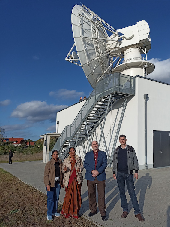
Ms Basavaraju Santhi Sree and Ms Manju Sarma (both National Remote Sensing Centre, ISRO), Mr Roberto Biasutti (ESA) and Frithjof Barner (GAF AG, Neustrelitz) at the site of the German Aerospace Centre (DLR) in Neustre¬litz with the antenna TriBand II.