Unique mapping of agricultural land in Saxony using the cloud-based AI solution AgroCrop® from GAF AG together with the drone expertise of flyXdrive GmbH, as part of the EU‘s Common Agricultural Policy (CAP).
GAF AG, an e-GEOS (Telespazio/ASI) company, and the company flyXdrive GmbH, have achieved one of the largest and fastest land use mapping projects in a German federal state to date. To achieve this, they combined AI analysis, satellite data, and images taken by drones in a unique way. With just two days of lead time and over the course of just one month, flyXdrive generated a total of 24,000 images for an area in Saxony for the automatic monitoring of agricultural parcels as part of the EU’s Common
Agricultural Policy (CAP). GAF processed all the data with its specially developed cloud-based AI solution AgroCrop®. VHR images from the Sentinel 1 & 2 satellites as well as Planet Fusion data were also included in the analysis. For the first time, the German Federal Aviation Office (LBA) issued approval for drone flights beyond visual range across an entire federal state. The cooperation opens a whole new chapter in CAP mapping in Germany in terms of technology and aviation law.
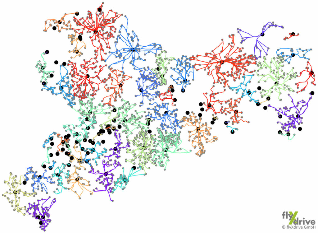
This year, GAF AG contributed to “controls for direct payments and area-related agricultural support measures” for the Saxon Ministry of Energy, Climate Protection, Environment and Agriculture (SMEKUL) by using satellite image evaluation, its cloud-based AI solution AgroCrop® and, for the first time, the highest-resolution drone images. As part of this project, the company flyXdrive GmbH, assisted by RWTH Aachen University, carried out flights with unmanned aircraft systems (UAS) over the entire state of Saxony throughout the day for the short period of one month only to collect agricultural data. The result: 297 flights, four flight systems in parallel operation, a total flight distance of 10,300 km, and 24,000 images taken.
The AgroCrop® AI algorithm is modelled using a reference database built up by GAF from the drone images, and then trained by GAF specialists to automatically recognise individual crop species. In further steps, the AI is constantly optimised to enable increasingly powerful automation of data analysis and the recognition of agricultural crops for CAP monitoring.
According to Prof. Dieter Moormann (RWTH Aachen, Head of the Institute for Flight System Dynamics), the successfully completed drone flights, with over 10,000 flight kilometres, which had never previously been achieved in Germany, have attracted the attention of experts: “Many people are aware that we have done something completely new here in terms of both technology and aviation law; there has never previously been anything like this on such a scale in Germany under the new EU aviation regulations.” Valuable experience has been gained with regard to flight restrictions based on minimum distances (e.g. wind farms) and height restrictions (e.g. nature reserves).
The agricultural areas that needed photographing were determined at short notice, so flight route planning in advance was not possible. For this reason, for the first time on this scale, the LBA issued a permit for the entire agricultural and forestry area of an entire federal state outside the control zones.
The automatically calculated path guidance made it possible to prevent flying over buildings and airports and ensured compliance with the rules of the various nature reserves and nature conservation zones. With the help of air traffic monitoring tools from DFS/droniq, air traffic safety was ensured. Particular attention was paid to airspace integration with regard to possible interactions with helicopters (police and rescue helicopters), sports aviation flights and model flying.
The cooperation between GAF AG, flyXdrive GmbH and the Federal Aviation Office, the innovative combination of an AI solution, the resulting analysis of high-resolution satellite and drone images, and the extensive use of drones, offers an example of what future, even more powerful EU CAP monitoring in Germany could look like.
GAF and flyXdrive will be available to discuss the monitoring at INTERGEO 2023, between 10 and 12 October in Berlin, at the booth B27.28 in hall 27.