ESA and GAF AG will continue to provide free-of-charge access to Digital Surface Models (DSMs), high-resolution (HR) and medium-resolution (MR) data for scientific users. In September 2022 they extended their agreement under ESA’s Third-Party Missions (TPM) programme regarding the provision of IRS data and DSMs until the end of 2024 or until full consumption of the budget, whichever occurs first.
Therefore, depending on the scientific relevance of proposals, ESA will continue to grant scientists free-of-charge access to IRS optical HR/MR satellite imagery and DSMs. ESA and GAF are the exclusive suppliers in Europe of optical Indian remote sensing satellite (IRS) data from several missions. This unique service began in May 2017, funded by and carried out under the Third-Party Missions programme of the European Space Agency.
The agreement encompasses European as well as worldwide products from archive data from the IRS-1C, IRS-1D Resourcesat-1 and Cartosat-1 missions, as well as archive and new data from Resourcesat-2, continuously acquired since 1996.
Interested scientists can submit short project proposals, together with associated data requirements, to ESA. Depending on the scientific relevance of the proposal, ESA will grant the project a quota for IRS data products.
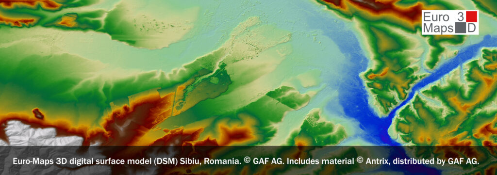
This allows access at no charge to high-resolution data from the PAN, LISS-IV Mono and LISS-III sensors as well as medium-resolution data from the WiFS and AWiFS sensors, from 1996 until today. Data can be obtained at various processing levels, including as Euro-Maps 3D DSMs with 5 m post spacing.
For more information, please visit ESA’s Third Party Missions page or contact GAF’s customer support via tpm@gaf.de.
As a result of an earlier agreement, Oceansat-2 ocean color monitor (OCM) data acquired at the Neustrelitz ground station is also available free-of-charge to all users worldwide through the ESA TPM Online Dissemination System. For more information about OCM data, visit the Oceansat-2 mission page.
The data provision activities are funded by and carried out under the European Space Agency’s Earthnet programme and its Third Party Mission activities.
The views expressed herein can in no way be taken to reflect the official opinion of the European Space Agency.