GAF AG (GAF), an e-GEOS S.p.A. (Telespazio S.p.A./ASI) company, will continue to lead a strong consortium for the production of High-Resolution Layers (HRL) Vegetated Land Cover Characteristics (VLCC) for the reference years 2025–2028.
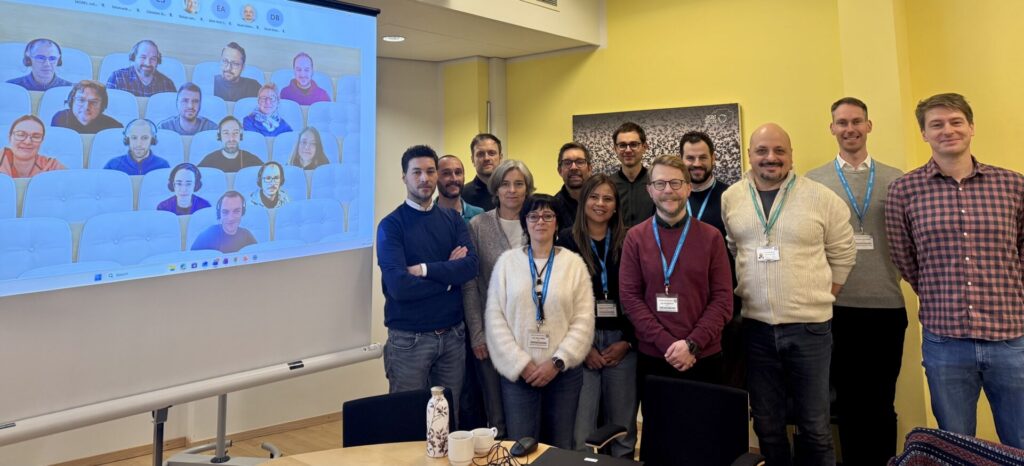
Together with the core production partners GeoVille and VITO, and subcontractor Telespazio Ibérica which will support model training, GAF participated in a kick-off meeting organized by the European Environment Agency (EEA) at the agency’s headquarters in Copenhagen, Denmark, on January 15–16, 2026. During the meeting, GAF also introduced its new partner Collecte Localisation Satellites (CLS), which will provide scientific validation and internal verification of the products.
With the HRL Vegetated Land Cover Characteristics (VLCC), EEA substantially extends and integrates the information content of its high-resolution vegetation monitoring products. Building on its proven track record and the evolution of operational workflows, the consortium will deliver accurate, consistent, and user-focused geoinformation products to the Copernicus Land Monitoring Service.
Alongside coordination efforts, GAF will focus on the production of tree cover-related products and the Base Vegetation Layer (BVL). The Consortium partners GeoVille and VITO will deliver annual Grassland-related products and Cropland-related products, respectively. These outputs continue the existing 2017–2024 time series of HRL Tree Cover & Forests, HRL Croplands, and HRL Grasslands from previous cycles.
Several new products are planned for the 2025–2028 period including the annual Base Vegetation Layer (BVL), detailed Tree Species Mapping for 2024 and 2027, and the distinction of winter and spring cereals. In addition, the consortium plans to introduce a range of new layers providing probability, confidence, and logging information. These further enhance the depth, usability, and scientific value of the HRL VLCC products.
Lessons learned from previous production cycles will also be incorporated. This means several adaptations and improvements will be rendered to existing products which include improved spatio-temporal consistency of the mapping of olives and other permanent crops. These additions aim to support more precise monitoring for a broader range of user applications.
The availability, accessibility, and quality of the HRL VLCC products are critical, as is its harmonization. The consortium ensures these standards are upheld through consistent processes, expert data handling, rigorous quality control, and attention to user adoption.
The kick-off meeting was also attended by colleagues from the Joint Research Center (JRC) for the European Commission (Ispra), the European Topic Centre on Data Integration and Digitalisation (ETC DI), and EFTAS, the lead of the external validation consortium.