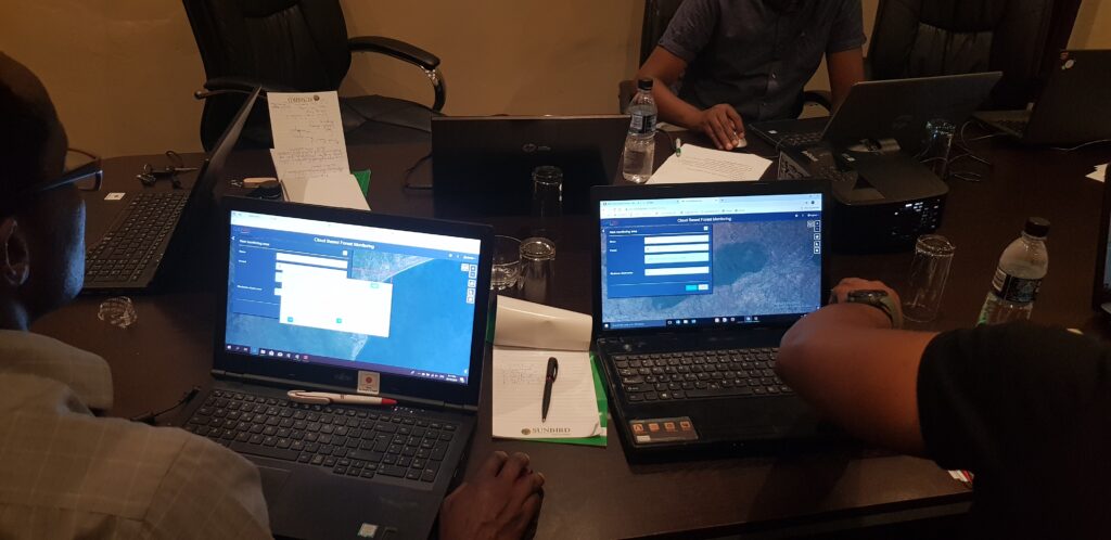
GAF AG developed an internet browser based Land Cover Mapping Tool with support from the European Space Agency (ESA), which fully utilises the high temporal resolution of Copernicus Sentinel-2 satellite data without the need of local data storage and processing.
A cloud computing backend enables users to remotely access and process large data volumes for their mapping task. The tool was successfully demonstrated during a 3 day workshop held in Malawi, which experiences the challenge of slow and unstable internet connection common in many developing countries. Together with staff members of the Department of Forestry (DoF), several sites in Malawi were mapped. The integration of multiple Sentinel-2 image acquisitions and the derivation of statistical measures thereof helped to overcome challenges in mapping tropical dry forest.