GAF AG has successfully completed a pilot project for the monitoring of agricultural parcels for the Bavarian State Ministry of Food, Agriculture and Forestry (StMELF), as part of CAP2020.
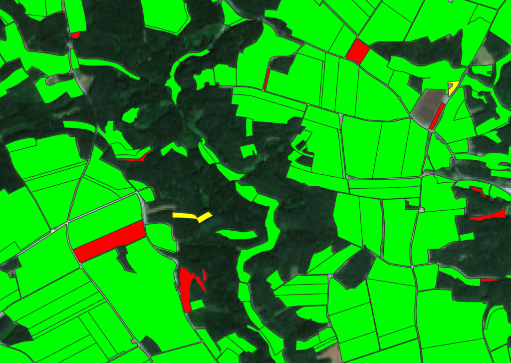
The Company has developed and validated an automatic monitoring approach for agricultural parcels using satellite data. This aims to ease the burden of on-the-spot-checks for agricultural administrations. Twelve different monitoring scenarios were automatically evaluated, using high resolution open access earth observation data collected by the Sentinel-1 and Sentinel-2 satellite constellation. The potential of very high resolution PLANETSCOPE data for overcoming constraints in monitoring smaller parcels was also investigated in this project.
With the aim of updating the existing subsidy system defined in the Common Agricultural Policy (CAP), the European Commission intends to upgrade the present system using innovative and modern techniques. By developing an effective automatic remote sensing solution, GAF and the Technical University of Munich (TUM) have successfully completed a pilot project awarded by StMELF (German: Bayerisches Staatsministerium für Ernährung, Landwirt¬schaft und Forsten), which was designed to support future CAP2020 monitoring activities in Bavaria.
The project was conducted using three different test sites located in Bavaria, Germany for the year 2018. The project team analysed the synergetic use of Sentinel-2 and Sentinel-1 datasets, which provide short revisit times and good data availability even in cloud prone conditions such as those in Southern Germany. In addition, four spectral bands of PLANETSCOPE datasets were also evaluated, with the aim of overcoming the spatial limitations regarding monitoring smaller parcels with Sentinel data.
During this project, crop type classifications were carried out and eleven different agricultural activities conducted by farmers were monitored from space, using more than 800 satellite data acquisitions in total. A highly automated evaluation of satellite data for monitoring agricultural parcels was conducted using machine learning, deep learning and time series analysis approaches. The methodology development was followed by validation with ground truth data. Currently, the team is involved in transferring the methodology to cloud based services for further service evolution in the future.